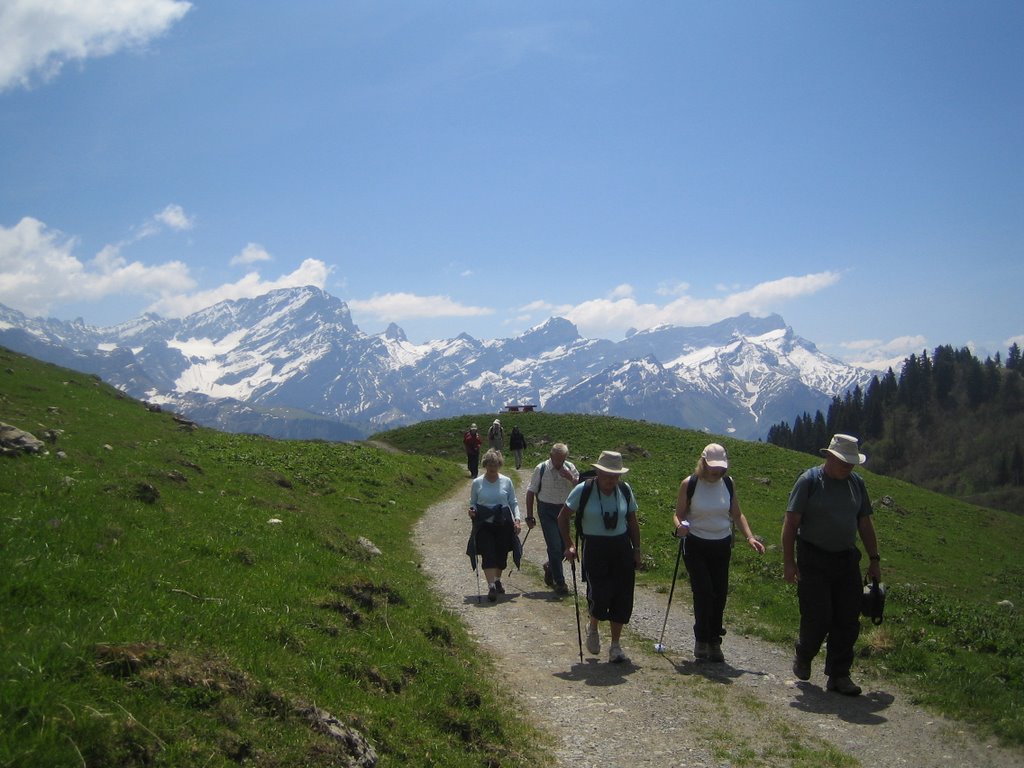
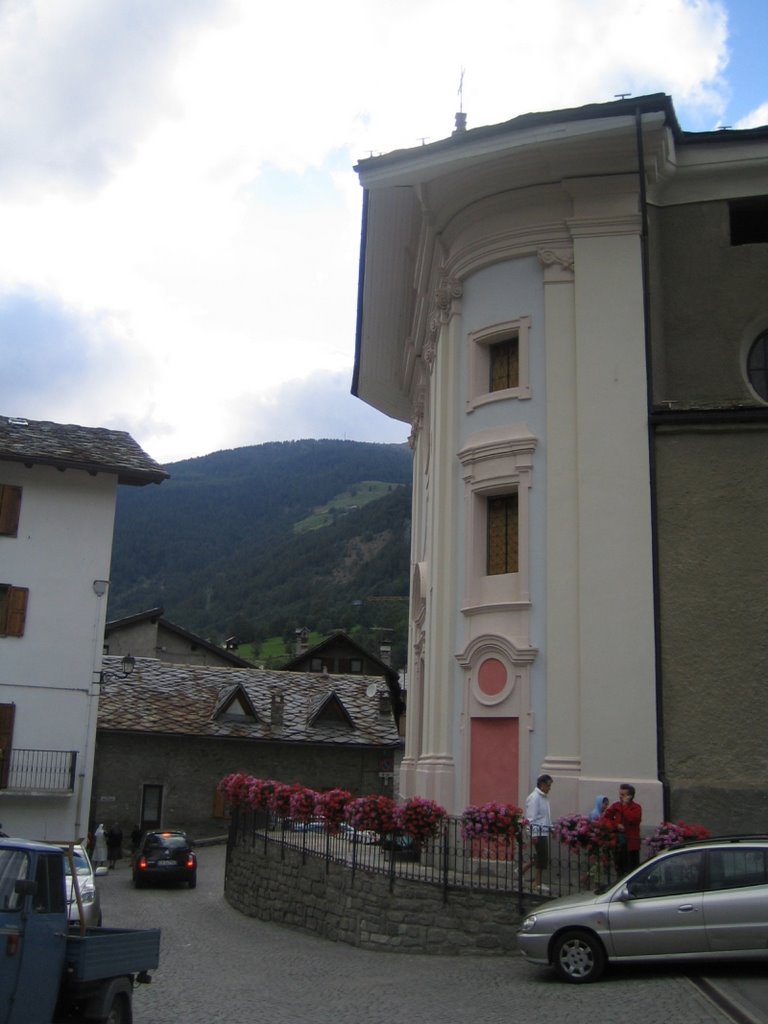
First day, from Bourg Saint Pierre to Col de Mille
Up to Col de Mille
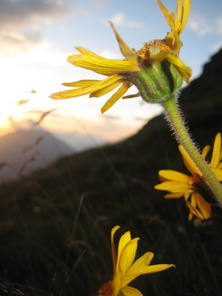
Arnica Montana at sunset on the slopes of Mont Brûlé
Second day, from Mille to FX Bagnoud hut (Panossière)
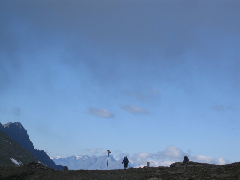
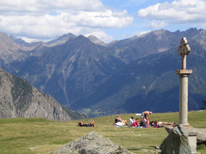
Early morning on the Col de Mille
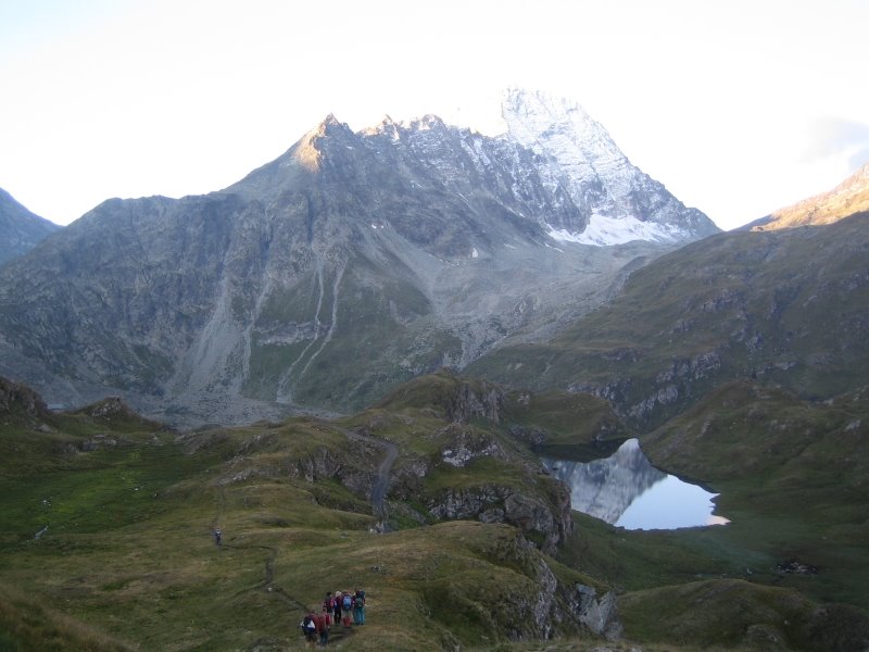
View towards the Verbier range, Mont Fort, Bec des Rosses, Mont Gelé

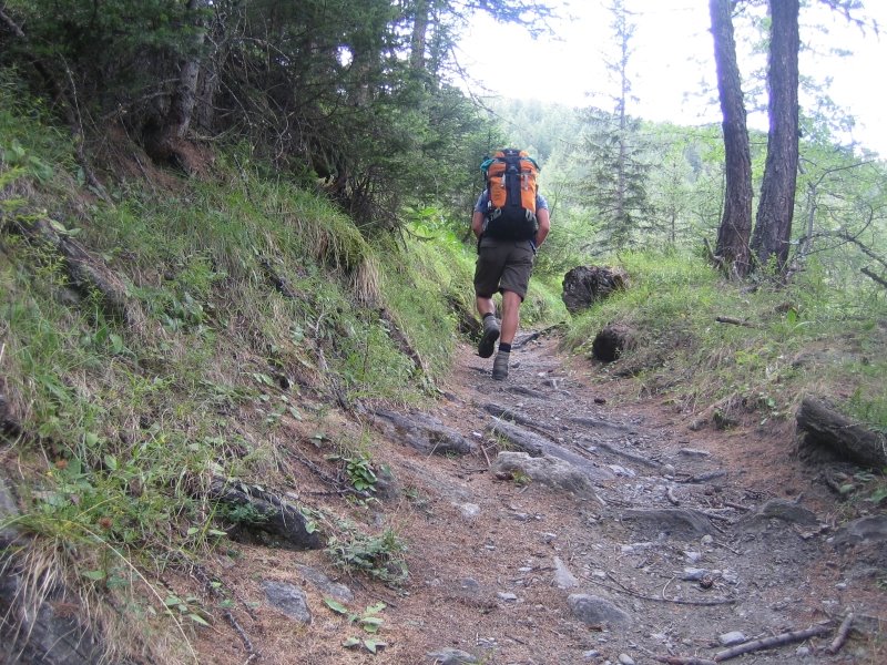
Up the Moraine towards Cabane FX Bagnoud

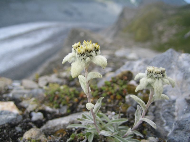
Edelweiss high up the moraine above the Corbassière Glacier
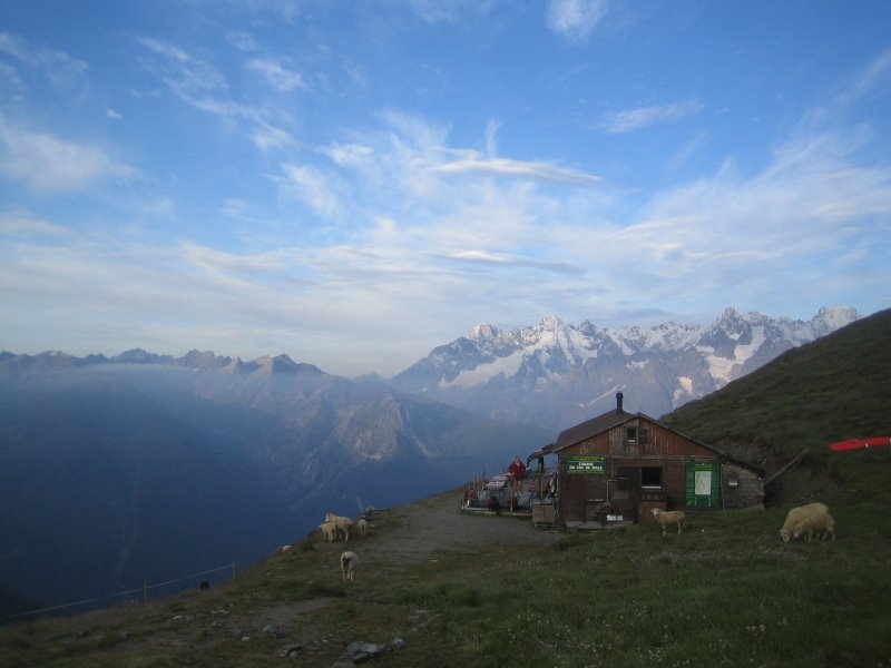
The Glacier de Corbassière and the Combin de Corbassière, evening of second day

Third day, from FX Bagnoud to Cabane Chanrion
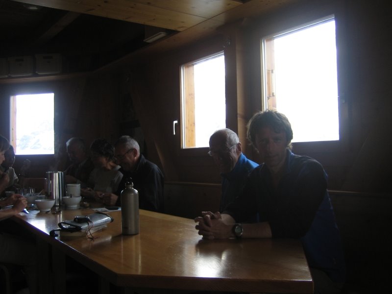
Breakfast in FX Bagnoud hut
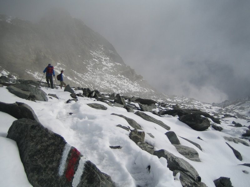
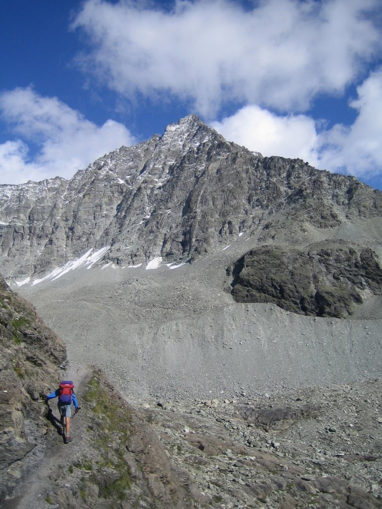
Starting the climb up towards Col des Otannes pass at 2,880 meters

A last look on the Corbassière area, with the Combin de Corbassière and the Petit Combin (from left to right)

Summer snow covers the Col des Otannes, we start down on light feet towards the Mauvoisin dam, a long and steep descent
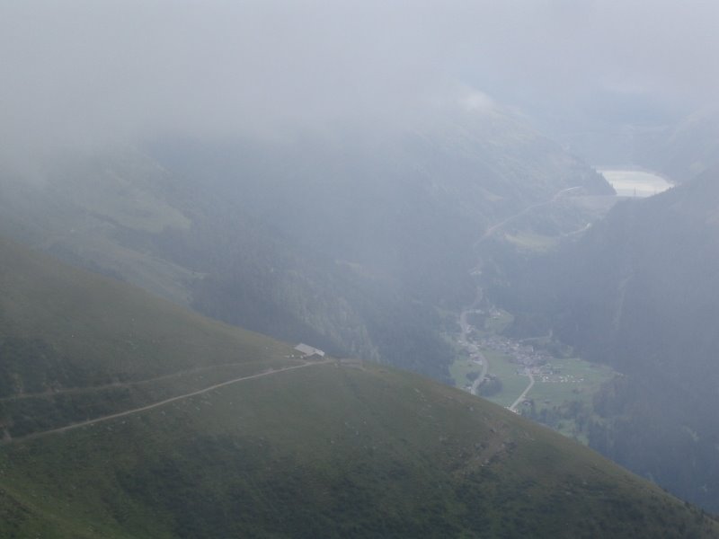
Back in grassland, the Mauvoisin dam appears through the clouds

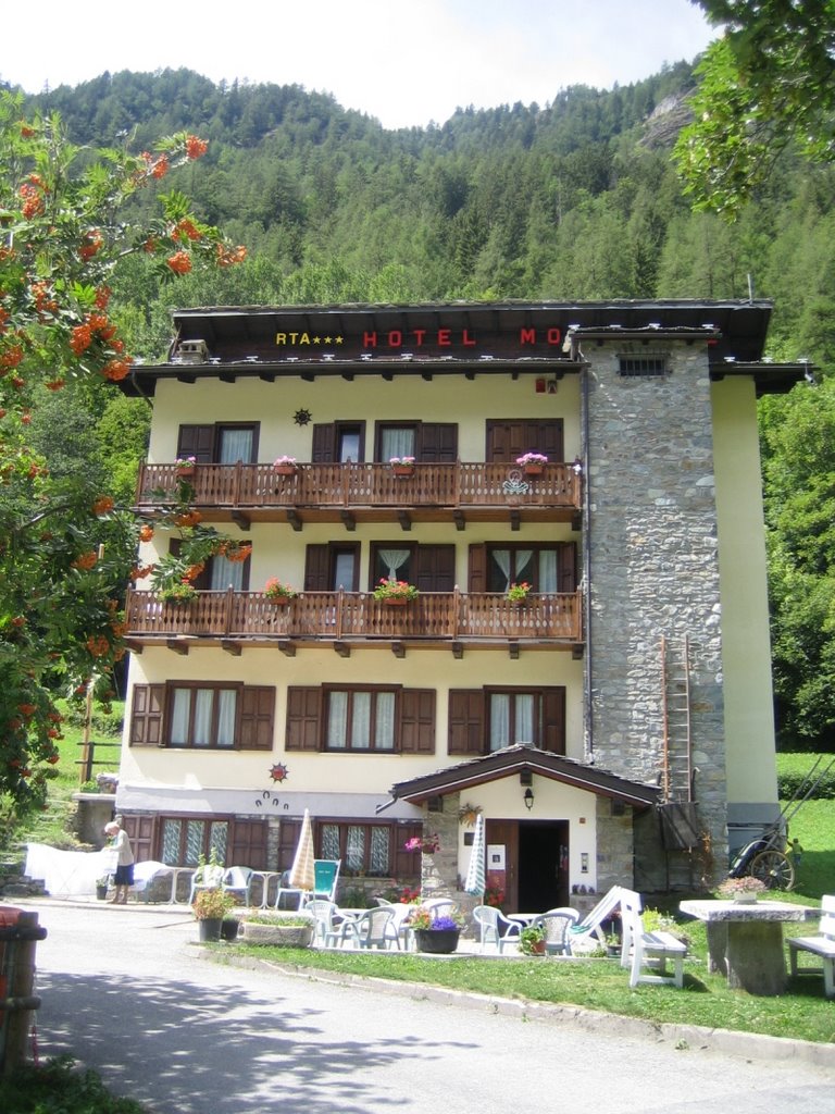
Coffee break at the Mauvoisin hotel (check out site www.mauvoisin.ch), old cafe, superb rooms, great food, nice people!

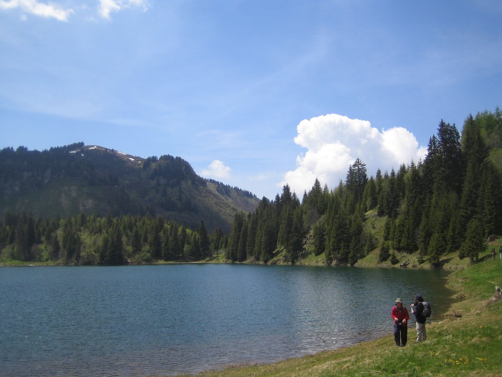
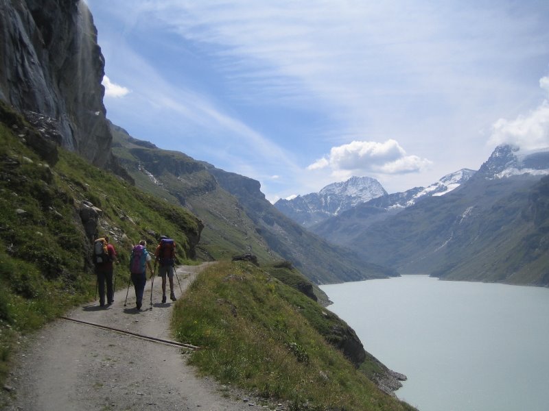
Walking along the lake, up to the Chanrion hut
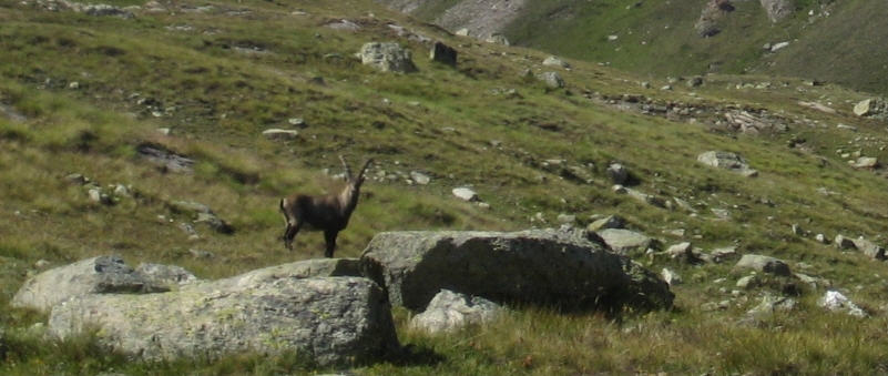
An Ibex checks out the strange two-footers
A narrow path along a steep mountain flank allows you to pass a rocky buttress and get down to the Chanrion moraine. The summit in the background is the Pointe d'Otemma
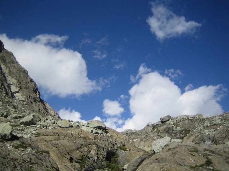
Colours in the mountains, geometrical wonders, crisp air
And the Chanrion hut is just there behind the bluff, thank you swiss flag!

Fourth day, from Chanrion to Vaud/Ollomont and then over to Etrouble and St Rhémy (2 days in one)
Setting out from Chanrion, first a bit of downhill!
700 meters higher, the Durand pass appears, and beyond it: Italy!
Hey, is this Italy? Seems a bit too cold to me, so I got my lovely bolivian hat out, mmm nice and cosy! Sylvie's not sure whether she really wants to be on the photo, but in the end she gives in.

ITALIAAAA!!!!!

The wind helps one adopt a true italian behaviour
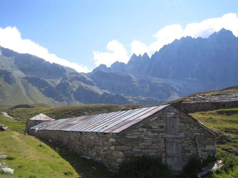
Italian mountain stable
Down into the valley

The Hotel du Mont Gelé at Vaud, this would be a good place to spend the night after a 6 hours walk from Chanrion
But, behold, here we start off again up towards the Champillon hut (but we will stop short of it and go along the flank of the mountain and right round to the other side instead, avoiding the long -and senseless!- climb over the Champillon pass, and the horrible descent down the other side to Etroubles).
The Ru de By area, a popular picnic spot: here you will be able to admire the latest italian Fiat cars and some "echantillon" of the finest italian feminine youth sunbathing their delicately pierced belly-buttons while you trudge along with exorbitated eyes, hiding gleefully behind your dark glacier sunglasses and leaving in the air a whiff of good old mountaineers' stink for them to fantasize upon.
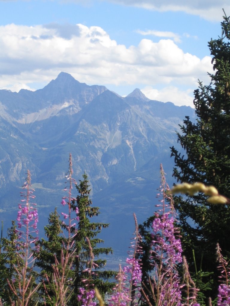
View over the italian summits with colourful Epilobes in the foreground
A bisse is a gently sloping artificial canal that runs along the side of valleys to bring water from one point to another; bisses can go on for miles and miles, cross rocky slopes or even go underground. There are often paths that run along them, and if you can find them, they are really nice to walk.

View over the greater Val d'Aoste. It's in Italy but still has an autonomous status and people often speak french.

The Forêt des Fontaines, on the way down to Etroubles, a fairy-tale woodland

Almost in Etroubles, here is a giant thistle, about 50 cms wide; if anyone knows the name of this thing, let me know!

Arrival in Etroubles, no room in hotels, lift to St-Rhémy, lousy hotel, won't mention it nor show any of it; apparently a better place to stay would have been the Hospice at St Oyen!
Fourth day, from St Rhémy to Bourg St-Pierre
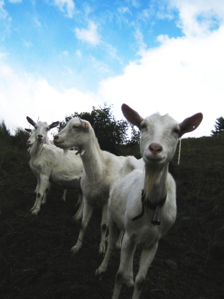
Morning chat with italian -but french-speaking, remember- very pretty goats
St Rhémy village

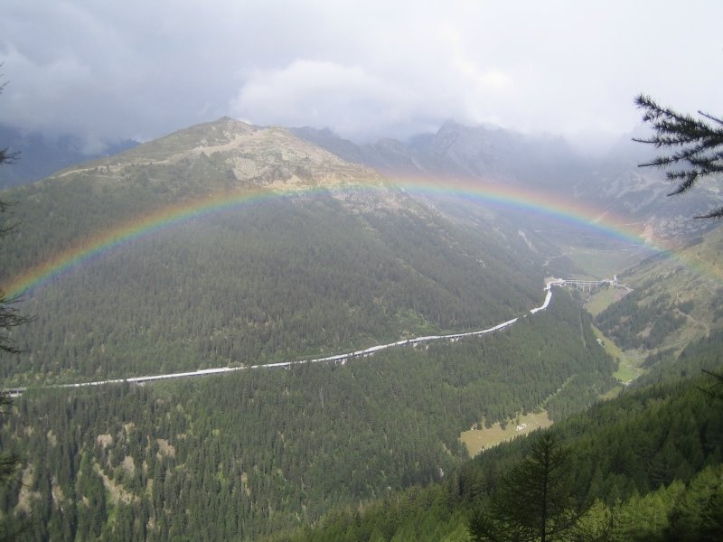
Up and up again, encouraged along by a magnificent rainbow!
The long and breathtaking ridge of Barasson, to get over back to Switzerland, escaping the zealeous italian border patrols and the cosa nostra looks of the customs officers at the St Bernard pass

Into Swizerland, the Combe des Morts (brrrr)

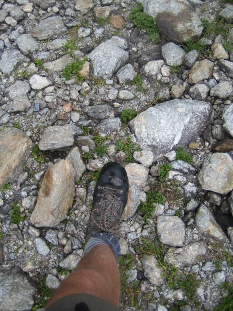
Oh I so love my walking shoes, here they are, faithfully plodding along over stones and snow, skillfully avoiding the ants, the butterflies and the tortoises
Here we are again back in Bourg St Pierre, got a lift down to Martigny and train back to Moudon; gosh I WAS tired! And a good bottle of wine after all this!